I just returned from visiting a property for a client in Indiana. As I always do, I studied an aerial photo of the property before the visit to get a better idea of how the property lays out. Besides looking at aerial maps, I also always ask a series of questions before my consulting visits to get an idea of what to expect. As I walked the Indiana property today it soon became apparent that the property is a much better deer hunting property than what the aerial photo showed.
This was not the first time that my boots-on-the-ground visit revealed a much better property and features that no aerial photo ever could and gave me a totally different “picture” of a property. After visiting hundreds of properties in dozens of states I have come to the conclusion that aerial photos are much more limited in what they can reveal about any property than most deer hunters seem to believe. It almost makes me wonder if I am seeing things while walking a property that others often miss or overlook.
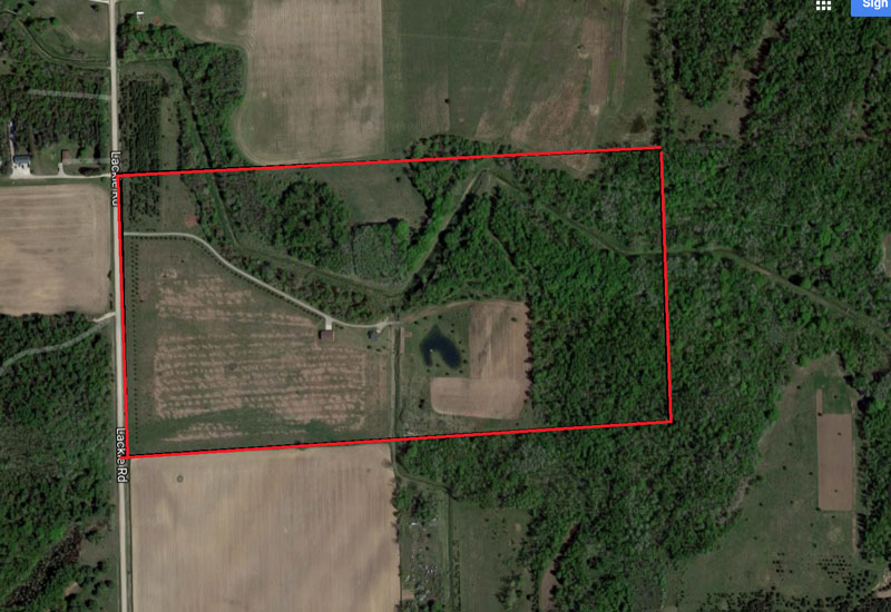
Dont get me wrong, aerial photos do offer some real value to deer hunters. They can reveal obvious stand locations and terrain features while also giving a birds-eye view of how a property ties into the surrounding countryside. Aerial photos are certainly a great tool but they almost always fall well short of offering enough detailed information to make the best decisions regarding hunting or managing a property.
When I started offering my services as a whitetail land management consultant I had a way of doing things that has since evolved. I would first study an aerial photo of a property and develop a potential plan in my mind before the actual visit. The visit was more of a way to confirm what I had already gleaned from the aerials and designed in my mind based on what I saw on them. While on the actual property visit I would often find myself either totally scrapping or significantly altering my pre-concieved plan developed from tha aerial photo. Today I still carefully study aerial photos before visiting any property but I dont waste time pre-planning any details like the location of food plots, sanctuaries or tree stands.
Todays deer hunter has a long list of whitetail management consultants to choose from so I am always looking for ways to stand out from the crowd. I want to ensure that my clients are not only successful but also feel they have gotten something of value when they hire me. This starts with me requesting an aerial photo and asking a series of questions. Based on that information, I sometimes politely turn away potential clients and ultimately income. If I dont have complete confidence that I can offer a client solid advice that fits with their goals and thier specific property, I wont take thier money.
This leads me to another related topic. I often get asked to simply mark an aerial photo of a property for someone who is willing to pay for such a service. In the past I did this for a limited number of clients but today I refuse. I appreciate and respect potential clients enough that I wont offer them advice that may or may not be solid. This decision goes back to my experiences when I looked at aerial photos, developed a plan in my mind and then totally scrapped it once I visited the property. What if those clients had simply paid me to mark their aerial maps instead of actually visiting and walking the property?
In closing I want to acknowledge again that aerial maps and photos do offer some solid information for the deer hunter and land manager. I will continue to use them as one of the tools that helps me offer my clients the very best advice as well as for my own hunting and land management projects. I will do so however with the firm understanding that an aerial photo is a tool with severe limitations. Aerial photos will never be able to replace boots on the ground and I will never make decisions for myself or my clients based on aerial photos alone.